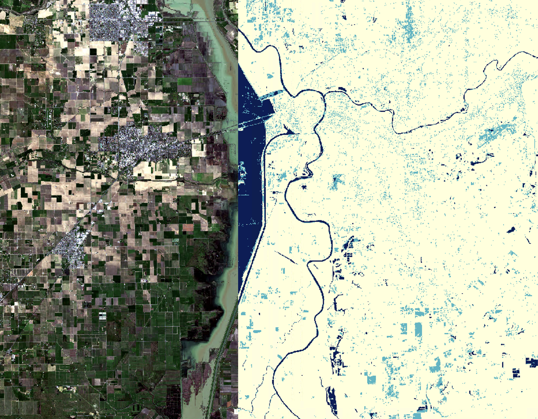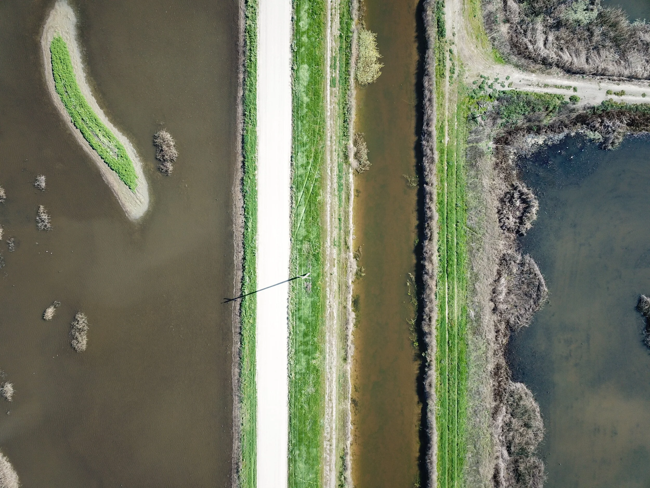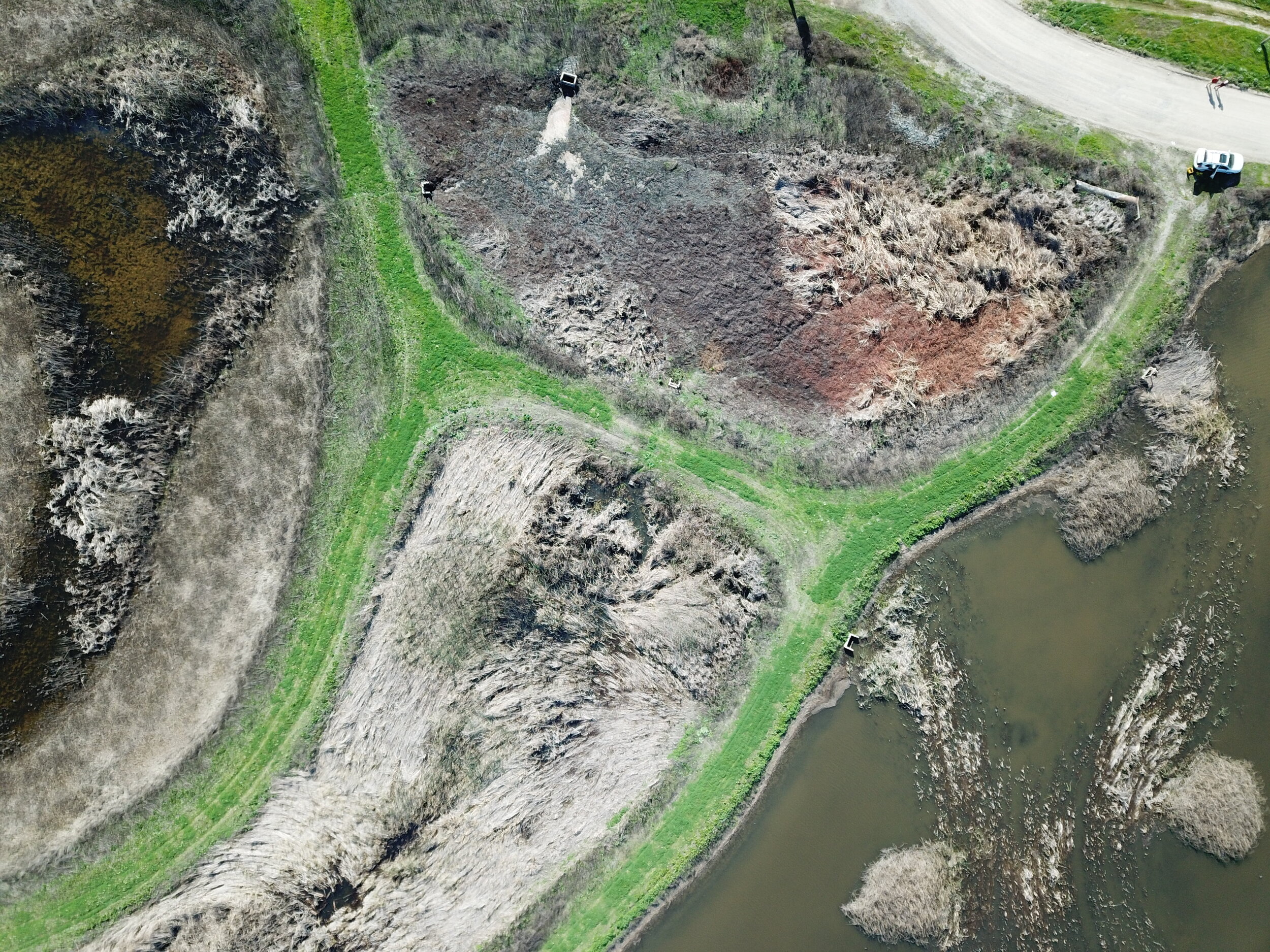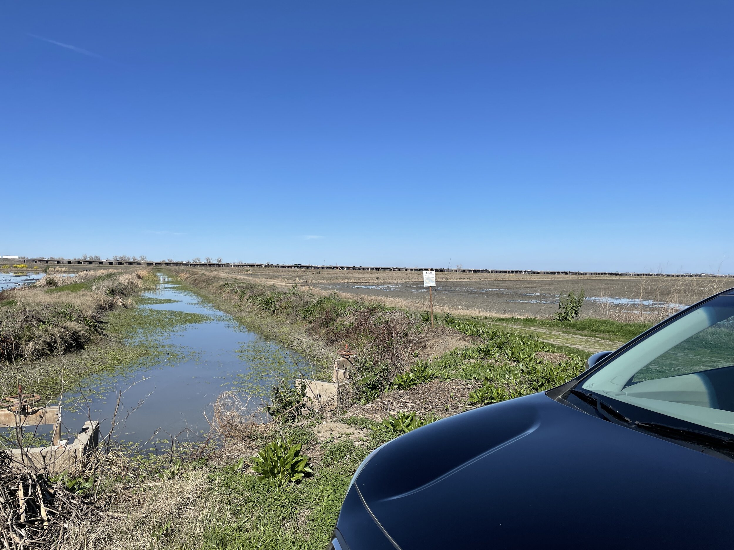
This project featured the application of satellite sensor fusion (Sentinel-1 SAR and Sentinel-2 Multispectral Optical) to plot a time-series of functional flow metrics for a floodplain ecosystem.
Report and upcoming publication in-prep
Present work at AGU Fall Meeting 2020, Bay-Delta Science Conference 2021, and the IEP Working Group
Development of Google Earth Engine tool in-prep
Github links:
Automatic Sentinel-1 and Sentinel-2 Unarchiving and Downloading


